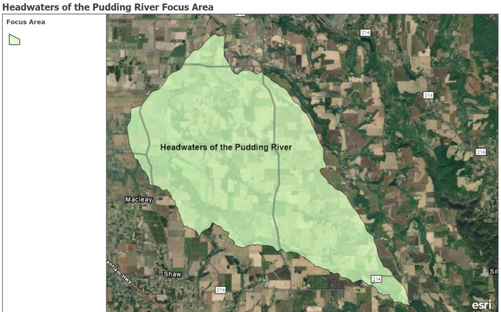
Part of the SWCD’s ongoing partnership with the Oregon Department of Agriculture (ODA) involves working to solve natural resource concerns within Agricultural Water Quality Management Areas (AWQMA). The Marion SWCD works within the AWQMA known as the Molalla-Pudding-French Prairie-North Santiam Area Plan. The area encompasses a lot of the district where we put conservation measures on the ground. To better gauge the effectiveness of the work going on in management areas, we will break down the larger area into smaller watershed units called Focus Areas. For the next several years, our focus area will be the headwaters of the Pudding River. This area is roughly 22,000 acres, extending from the upper South Fork of the Pudding near Silver Falls Highway and Carter Road near Sublimity, northeast toward Macleay and Durbin, then east to the confluence of Drift Creek and the Pudding near Selah Springs Drive and southeast along Cascade Highway. For an interactive visual of the map area, click here: Headwaters of the Pudding River
Our efforts in this area will be focused on improving the soil runoff conditions from agricultural practices that impact the headwaters of the Pudding River. We will be engaging local landowners and providing resources and grant funding to get conservation cover happening on the ground. Cover cropping, filter strips, field borders, and riparian buffer enhancements are all part of the toolbox. If you are a landowner in this area and would like to meet with a conservation planner to find out about resources available, please contact us today!