Natural Disasters are just that, natural. But when conditions are just right (or wrong), they turn into catastrophic events that leave extensive damage and ruin to communities. These events are not new to Marion County, nor have we seen the last of them. In our county, we have suffered traumatic catastrophic events caused by extreme weather, wildfires, floods, and more. It is important to understand the types of hazards we are at higher risk of, and how to prepare our homes, property, habitat, and communities to be resilient in the face of the next event.
Marion County is located in the heart of the Willamette Valley and includes urban, forest, agriculture, and river systems. The eastern side of the District, nearly 45% of the county, is forested land that was burned in the 2020 Labor Day wildfires. This section of the Cascade mountain range is situated on top of volcanic rock due to the proximity to Mount Jefferson, a stratovolcano. The Western portion of the District borders the Willamette River and is home to the densest population of our residences in urban and ag land. Some of the natural hazard risks associated with our county include earthquake, riverine flooding, landslides, channel migration, wildfire and lahar.
To learn more about the natural hazards risk assessment results of Marion County, visit the Marion County Multi Hazard Risk Assessment storymap.

Preparedness
It is important to build a plan and preparedness kit before an emergency occurs to keep your family, home, and animals as safe as possible in an emergency. Assess your risks and practice your emergency response plan with your family so everyone knows what to do when emergency strikes.
Subscribe to emergency notifications to get the latest updates on emergencies in your area. Follow the step by step Emergency Preparedness Planning Guide to stay ready and safe.

Wildfire
Research has shown that reducing fuel sources around a structure can greatly increase the chance of it surviving a wildfire. Fire needs three elements to occur: fuel, oxygen, and heat. Remove any one of them and the fire will die out. Fuel is defined as anything that can burn. Trees and shrubs should be placed in a way that makes it difficult for fire to spread on your property.
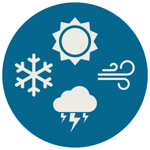
Extreme Weather
Climate change is already impacting the nine counties in the Willamette Valley. Higher temperatures, wildfires, declining snowpack, and extreme weather events disrupt agriculture, forestry, tourism, and quality of life. We have already seen the damage that ice storms, flooding, and heat domes can cause to our natural resources and property. Learn more about the risks of extreme weather.
Visit Oregon Department of Emergency Management to view the current Hazards Situations Overview.

Earthquake
Currently, scientists are predicting a 37 percent chance that a megathrust earthquake of 7.1+ magnitude will occur in the next 50 years in this fault zone. This event would be felt throughout the Pacific Northwest. Locally, we have seen a 6.8 magnitude earthquake in our own County due to the Mt. Angel fault. Some communities in Marion County may experience damage from earthquake events, and it is important to know the risks and how to be prepared.
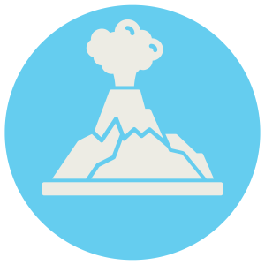
Volcano
The mountains in our region are, in fact, volcanoes. This includes Mount Jefferson, a stratovolcano built of layers of ash and lava, located on the Eastern boundary of Marion County. While these events are rare, they are not impossible. Many remember the destruction and devastation from the Mt. Saint Helens’ eruption in 1980. Volcanic activity poses a risk to our county. It is important to know the hazards of not only an eruption, but also the lahars, or destructive mudflows, that are associated with volcanic events.