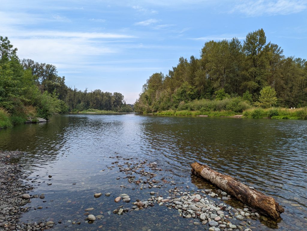
Since time immemorial, the Tribe has been the historical land manager of the Willamette Valley. The native plants and animals are intrinsic resources to the Confederated Tribes of Grand Ronde as they form the foundation to traditions and values. The North Santiam River holds significant historical and cultural importance, once being the home of the Santiam band of the Kalapuya. The riparian habitats of this river were historically complex and diverse. Broad floodplain forests were vital, hosting an overstory dominated by native hardwoods and an understory dominated by native shrubs. These floodplain forests provided high-quality and highly-valued habitat for several species. Large and small deciduous trees provided nesting, cover, and feeding opportunities for wildlife. Large tracts of forests provided for natural water storage capacity, increasing water availability during the summer along with areas of cold water refuges and cold water sources that benefited native fish. The open, low gradients fostered multi-channeled, densely braided, and dynamic side-channel, back-channel and off-channel habitats. This system once contained significant runs of Upper Willamette spring Chinook salmon and winter steelhead, both of which are listed under the Endangered Species Act (ESA), and provided suitable habitat for Oregon chub, the only fish to ever be de-listed from the ESA.
Today, the North Santiam River remains a key basin for the recovery of these ESA-listed species. Regional documents have noted the loss of riparian and floodplain habitat as a limiting factor to this recovery, including the Oregon Department of Fish and Wildlife’s (ODFW) Oregon Conservation Strategy (2016), the Willamette Basin Synthesis (2010), the North Santiam Watershed Council’s Restoration Action Plan (2014), and the Willamette Restoration Initiative (2004). Current habitat conditions are significantly lacking in the quality and quantity of these highly-diverse and highly-important floodplain forests. Natural, dynamic floodplain development has been limited due to construction projects upstream including Detroit and Big Cliff Dams as well as local revetments. While native fish and wildlife use these floodplains, quality habitat is limited due to channel simplification. This impact is caused by the dams, which maintain flood and channel migration control for the conversion of floodplain forest to agricultural development and the protection thereof. In many areas, floodplain forests have been reduced to narrow bands of trees. With much of the high-quality habitat located above the Dams, conservation and restoration priorities focus on side-channels and tributaries below.
Along the North Santiam River, the Tribe re-acquired Chahalpam in phases during 2013 – 2019 through the Willamette Wildlife Mitigation Program (WWMP). This program is funded by Bonneville Power Administration (BPA) and administered by ODFW to acquire property for conservation in an effort to mitigate hydrosystem impacts. Chahalpam, located below the dams near Stayton, totals 462 acres; portions of floodplain forests cross both banks of the River and the property encompasses more than a mile of river frontage. Chahalpam means place of the People in Kalapuya – Halpam is the Santiam Kalapuya word for themselves in their language. Chahalpam is permanently protected by three conservation easements and is located within the boundaries of two designated Conservation Opportunity Areas (COA): the Willamette Sub-basin Plan’s Conservation Priority Area titled the Willamette Synthesis COA and ODFW’s Oregon Conservation Strategy titled the Santiam Confluences COA. The Strategy identifies the COA as a focal area for extensive habitat conservation and restoration for off-channel, flowing water, floodplain, and riparian areas. Oregon chub is highlighted as one of the key strategy species and off-channel habitat is highlighted as a specialized local environment. Recommended actions include enhancing wetlands and ponds to support western pond turtle; enhancing in-channel function and connection to improve flow and hydrology; and restoring riparian ecological function to ensure sufficient habitat complexity.
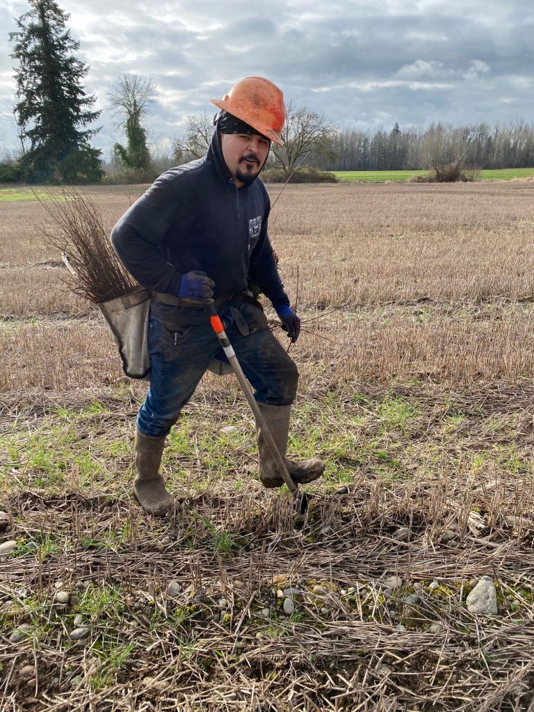
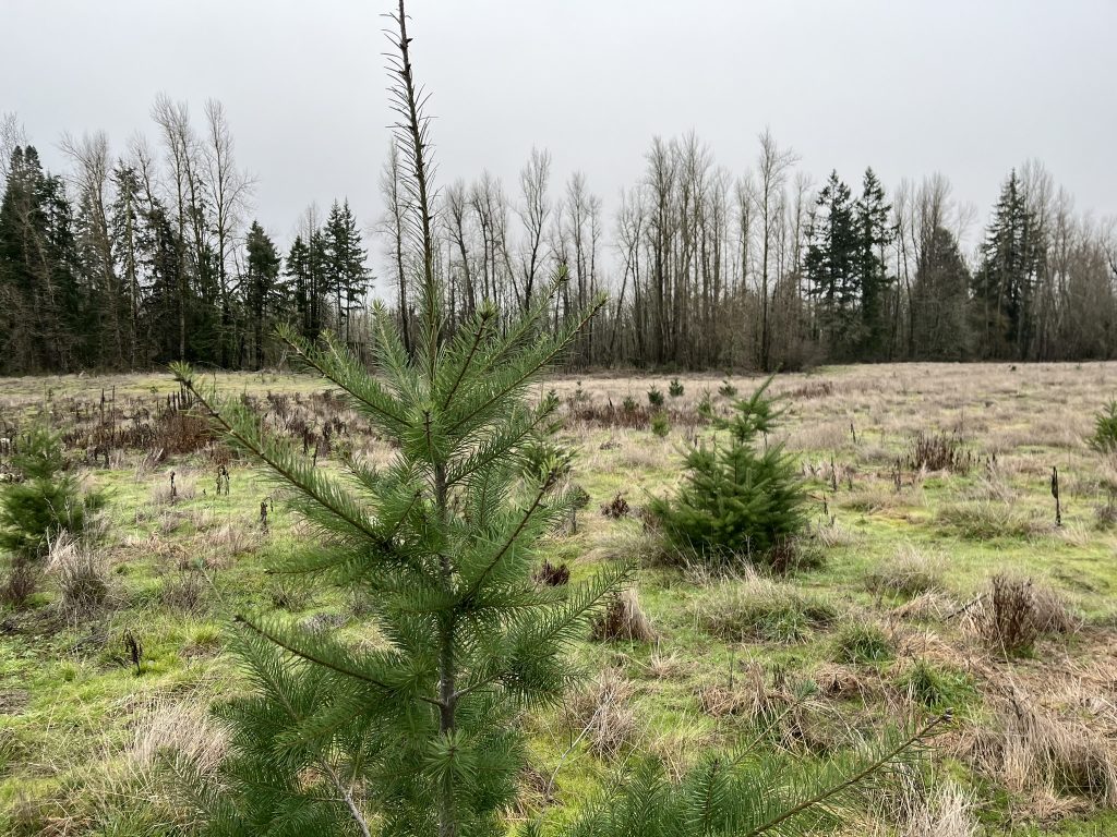
Chahalpam encompasses more than a mile of river frontage and portions of floodplain forests cross both banks of the river. Historically, Chahalpam hosted closed-canopy floodplain forests and wetlands as documented by the General Land Office in the 1850s. An aerial photo from 1936 indicates approximately 90% of Chahalpam was still in floodplain forest. But in 1944, the site was privately acquired and primarily used for farming and residential development. By 1955, the forest was reduced to 67% and by 1968 a majority of the property had been converted to agriculture. Upon Tribal re-acquisition, 195 acres of Chahalpam were still in agricultural production. The Chahalpam Management Plans (CTGR 2015; 2018) developed by the Tribe identify agricultural phase out priorities to restore these acres back to floodplain forest and this process began in 2019. To-date, the Tribe has restored 102 acres back to floodplain forest.
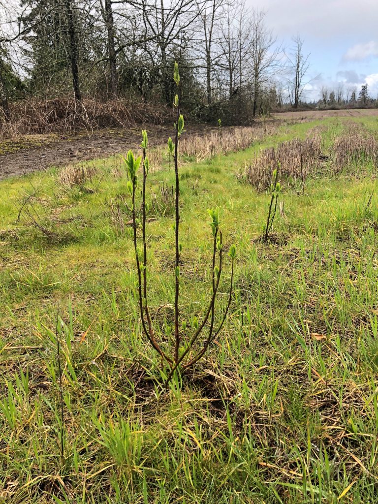
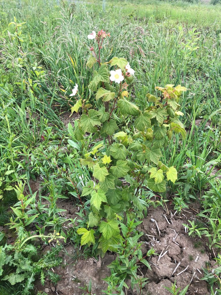
Replanting floodplain forest helps to meet a collective call for restoring riparian habitats in the Willamette Valley by converting agricultural lands back to historic floodplain forest habitat. Multiple organizations have cooperatively identified riparian habitats and floodplain function as a priority for conservation, protection, and restoration and efforts through this project would contribute to goals, objectives, and strategies identified in 18 regional plans and assessments. Contributing to restoring riparian habitats at a landscape level, this project has a larger resource benefit. Chahalpam is permanently protected by conservation easements and habitat restoration efforts will be secured investments that compound with others over time.
About the Author