Wildfire Preparedness Month: Understanding the Risk
May is National Wildfire Preparedness month, and we want to shed a light on some of the key things to be aware of and practices that can help to reduce wildfire risk individually and as communities. Many of us have heard concerns about this upcoming wildfire season in the summer of 2026, due to the record low snow pack levels we had over the winter, especially in the mountains and forests. What does this mean for us? We will need to be extra vigilant and prepared, and start thinking of what areas of risk and vulnerabilities are within our own properties and communities. This all starts with understanding what wildfire risks are, and how to identify them.
Wildfire Basics
Wildfires are a natural part of Oregon’s landscape, but hotter, drier summers and changing weather patterns have increased the frequency and intensity of fire seasons across the state. From the forests of Southern Oregon to the grasslands east of the Cascades, nearly every region faces some level of wildfire risk.
In Oregon, wildfire season typically begins in late spring and peaks during the summer and early fall when vegetation becomes dry and highly flammable. Lightning strikes can spark fires in remote areas, while human activity — including unattended campfires, equipment use, vehicle sparks, and debris burning — remains one of the leading causes of preventable wildfires.
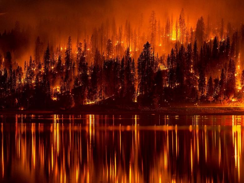
Understanding how wildfires spread can help families better prepare. Fire moves quickly when fueled by dry grass, brush, trees, wind, and steep terrain. Embers carried by wind can travel miles ahead of the main fire, igniting homes and vegetation far from the original blaze. That’s why preparedness isn’t just important for rural communities — suburban and urban areas near natural vegetation can also be at risk.
Oregon uses evacuation levels to help residents respond during wildfire emergencies:
- Level 1: Be Ready — Stay aware of the situation and prepare to evacuate if conditions worsen.
- Level 2: Be Set — Be prepared to leave at a moment’s notice. Pack essentials and monitor emergency alerts.
- Level 3: Go Now — Leave immediately. This indicates extreme danger in your area.
Preparing before smoke appears on the horizon can make a major difference. Creating defensible space around your home, signing up for local emergency alerts, maintaining an emergency kit, and planning evacuation routes are some of the most effective steps Oregon residents can take to stay safe during wildfire season.
Wildfire preparedness is a shared responsibility. By understanding the basics and taking action early, communities across Oregon can reduce risk, protect property, and help keep neighbors safe during fire season.
Learn more about Oregon Ready, Set, Go and how to create an evacuation plan here: http://www.oregonrsg.org/
Common Misconceptions
Wildfires are often misunderstood, and misinformation can lead people to underestimate their risk or delay taking action during an emergency. Understanding the realities of wildfire behavior can help Oregon residents make safer decisions before and during fire season.
“Wildfires only happen in forests.”
While large forest fires often make headlines, wildfires can occur in grasslands, shrublands, agricultural areas, and even near neighborhoods and cities. In Oregon, dry grass and brush can ignite quickly and spread fire rapidly, especially during hot, windy conditions.
“If I can’t see flames, I’m safe.”
Wildfires can spread far beyond the visible fire line. Wind-driven embers can travel miles ahead of the main fire and ignite roofs, decks, dry vegetation, or other flammable materials. Smoke alone can also create serious health risks, particularly for children, older adults, and people with respiratory conditions.
“Wildfires move slowly, so there’s plenty of time to evacuate.”
Some wildfires can grow unpredictably and spread extremely fast due to wind, terrain, and dry fuels. Conditions can change within minutes, leaving little time to gather belongings or plan an escape route. Waiting until a Level 3 evacuation notice is issued may put lives at risk.
“My home is safe because it’s not in a rural area.”
Wildfire risk extends beyond remote communities. Homes located near parks, green spaces, undeveloped land, or areas with dry vegetation can still be vulnerable. Urban edge communities throughout Oregon have experienced wildfire threats in recent years.
“Rain means wildfire season is over.”
A few days of rain may temporarily reduce fire danger, but dry conditions can return quickly. In Oregon, wildfire risk can continue well into the fall, especially during periods of warm temperatures and east winds.
“There’s nothing homeowners can do to protect their property.”
In reality, small preparedness steps can significantly reduce wildfire risk. Clearing dead vegetation, cleaning gutters, using fire-resistant landscaping, and creating defensible space around a home can improve its chances of surviving a wildfire.
“Emergency alerts will always give me enough warning.”
Emergency systems are important, but they are not perfect. Power outages, poor cell service, or rapidly changing fire conditions can limit warning times. Having an evacuation plan and staying informed throughout fire season helps ensure you can act quickly if conditions change.
Wildfire preparedness starts with accurate information. By understanding the facts — and challenging common misconceptions — Oregon residents can make more informed decisions to protect themselves, their families, and their communities.
Check the Marion County Emergency Management webpage for important updates, and sign up for emergency alerts to your phone today!
Local Risk Factors
Wildfire preparedness in Marion County comes with some unique local considerations. While many wildfire risks are shared across Oregon, Marion County’s geography, forests, weather patterns, and rural communities create specific challenges residents should understand before fire season begins.
The Santiam Canyon and Forested Communities
Eastern Marion County — especially communities in and around the Santiam Canyon — faces some of the highest wildfire risk in the region due to dense forests, steep terrain, and limited evacuation routes. Communities such as Mill City, Gates, Detroit, Idanha, Lyons, and Mehama have experienced firsthand how quickly wildfire conditions can change during extreme weather events. The devastating 2020 Beachie Creek and Lionshead Fires highlighted how vulnerable canyon communities can be during periods of high winds and dry fuels.
Wind Events Increase Fire Spread
Strong east winds are one of the biggest wildfire risk factors in Marion County. During critical fire weather conditions, wind can push flames rapidly through the Santiam Canyon and carry embers far ahead of the main fire. These embers can ignite homes, dry vegetation, and structures miles away from the active fire line. Research and local fire agencies emphasize that embers are responsible for many home ignitions during wildfires.
Dense Vegetation and Fuel Loads
Large areas of Marion County contain dense timber, brush, and dry grasses that act as wildfire fuel. Years of drought, storm damage, and accumulated vegetation can increase fire intensity and make suppression more difficult. According to Marion County and Oregon wildfire planning resources, hot, dry, and windy weather combined with heavy fuel loads significantly increase wildfire danger.
Wildland-Urban Interface Communities
Many Marion County neighborhoods are located in the wildland-urban interface (WUI), where homes and structures are built close to forests or natural vegetation. These areas are particularly vulnerable because wildfire can spread directly into residential communities. State wildfire hazard mapping identifies parts of Marion County as areas where defensible space and wildfire mitigation are especially important.
Visit Oregon State GEOHub to view an interactive map of WUI areas in Oregon.
Limited Evacuation Routes
Some rural parts of Marion County have limited roads in and out of communities, especially in canyon and mountain areas. During fast-moving fires, evacuation routes can quickly become congested or unsafe. Marion County and local fire districts encourage residents to understand Oregon’s “Be Ready, Be Set, Go” evacuation levels and to leave early when conditions worsen. It helps to become familiar and build a relationship with your local fire district so they are aware of your situation and how to access your property if needed.
Human-Caused Fire Risk
Like much of Oregon, many wildfires in Marion County are caused by human activity. Equipment use, debris burning, campfires, towing chains, fireworks, and outdoor recreation can all spark fires during dry conditions. Even parking a vehicle on dry grass can spark a fire. Local agencies encourage residents to follow burn restrictions, maintain equipment, and stay aware of fire danger levels throughout the summer.
Defensible Space Matters
One of the most effective ways Marion County residents can reduce wildfire risk is by creating defensible space around homes and structures. Local fire districts and the Oregon State Fire Marshal recommend clearing flammable vegetation, removing debris from roofs and gutters, and maintaining a buffer around structures to reduce ember ignition risk. One of the easiest things to do are placing fuel tanks, barbeques, and firewood piles away from the house and deck.
Wildfire preparedness in Marion County is about understanding the realities of the local landscape and taking proactive steps before an emergency happens. By preparing homes, planning evacuation routes, and staying informed during fire season, residents can improve safety for themselves and their communities.